
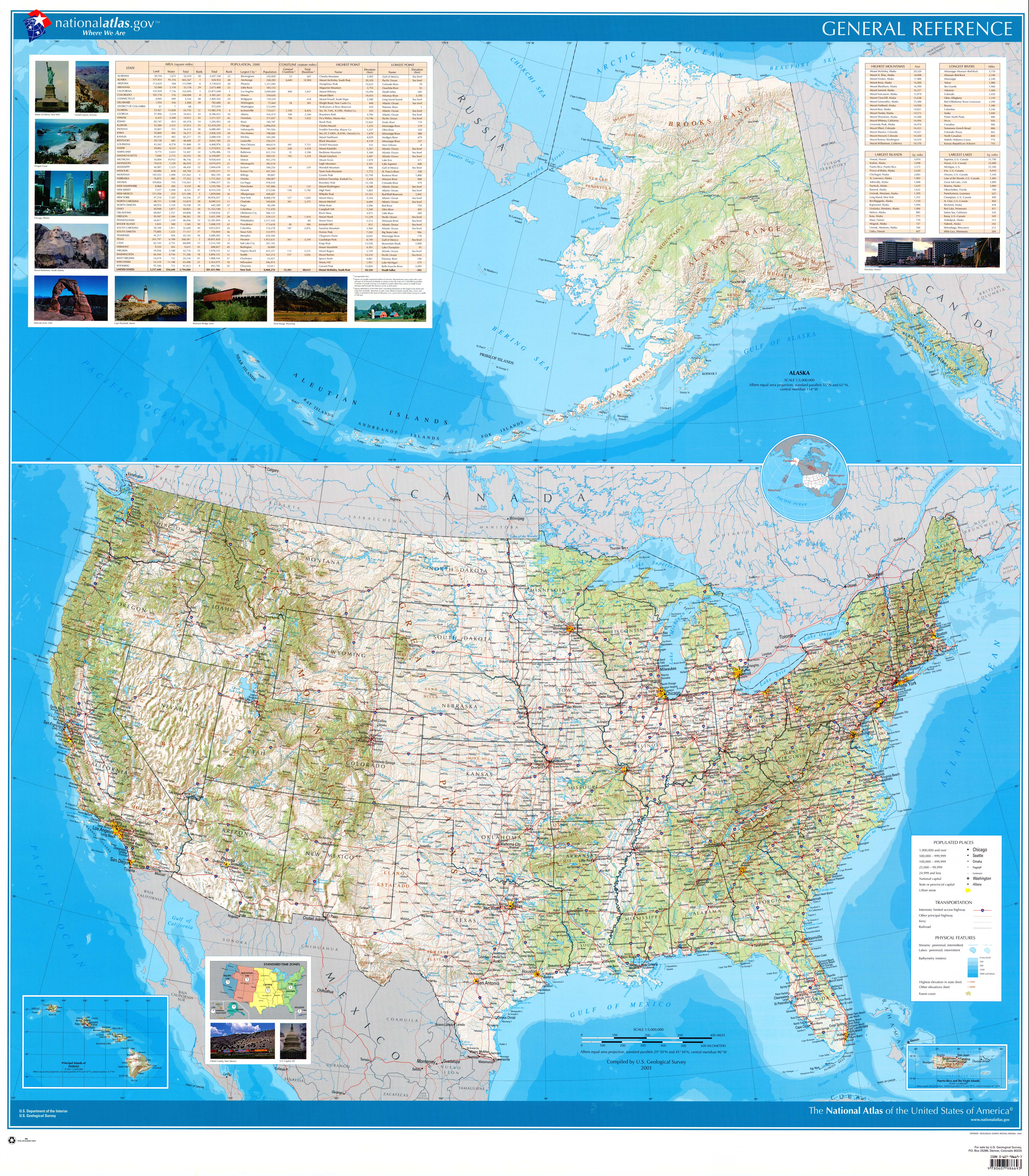
Here is a placefile made up of every labeled city/village on the National Atlas's United States Wall Map (high-res).
DOWNLOAD
NOTE: This placefile does not use the same lat/lon coordinates as those used by cities in the GRLevelX applications. A version that does, however, is forthcoming and will be posted within a few weeks. A preview of this new version is already available here.
No comments:
Post a Comment