DOWNLOAD
NOTE: This placefile does not use the same lat/lon coordinates as those used by cities within the GRLevelX applications.


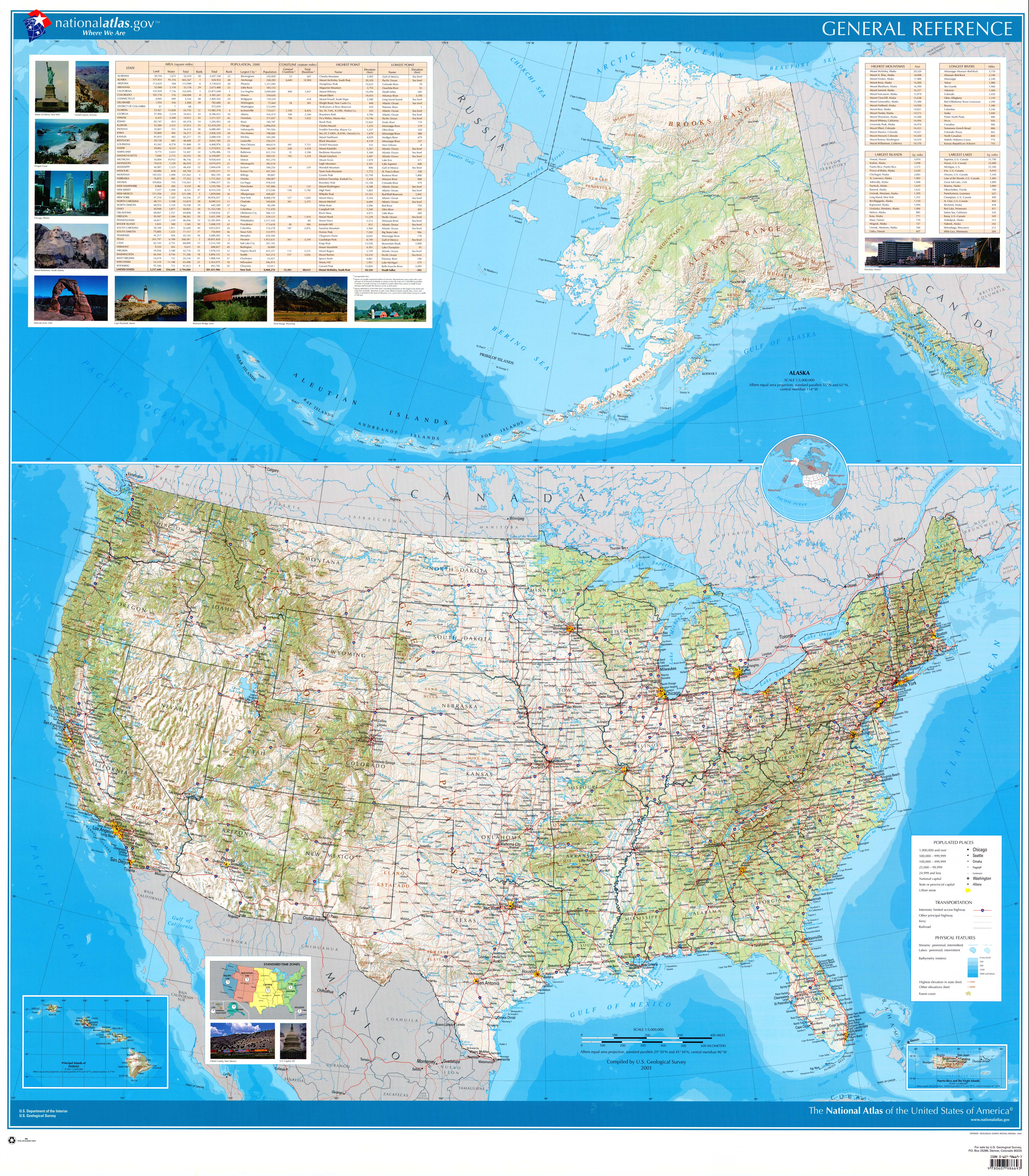
 This placefile was made using the national maps in the 2007 edition of the Rand McNally Commercial Atlas and Marketing Guide. It contains selected U.S. cities above population 25,000. Cities above population 100,000 comprise the first zoom level (threshold), while cities above population 25,000 comprise the second zoom level. Cities that were overlapped by larger cities were moved to lower zoom levels.